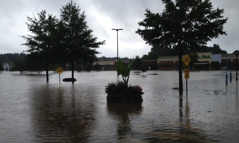
A flash flood watch has been issued for most of North Carolina as Tropical Storm Isaias passes through the state on Tuesday morning.
The flash flood watch is in effect until Tuesday at 2 p.m.
The National Hurricane Center predicted Tropical Storm Isaias would be reclassified as a Category 1 hurricane before making landfall. According to the NHC, heavy rainfall will result in flash and urban flooding – some of which will be significant in the Eastern Carolinas.
Earlier on Monday, the National Weather Service updated its Tropical Storm Warning to include Wake, Franklin, Warren, Harnett and Hoke counties.
The towns of Chapel Hill and Carrboro are urging residents to take precautions ahead of the storm.
This story will be updated with additional information throughout the coming days as it becomes available.
Chapelboro.com does not charge subscription fees. You can support local journalism and our mission to serve the community. Contribute today – every single dollar matters.


