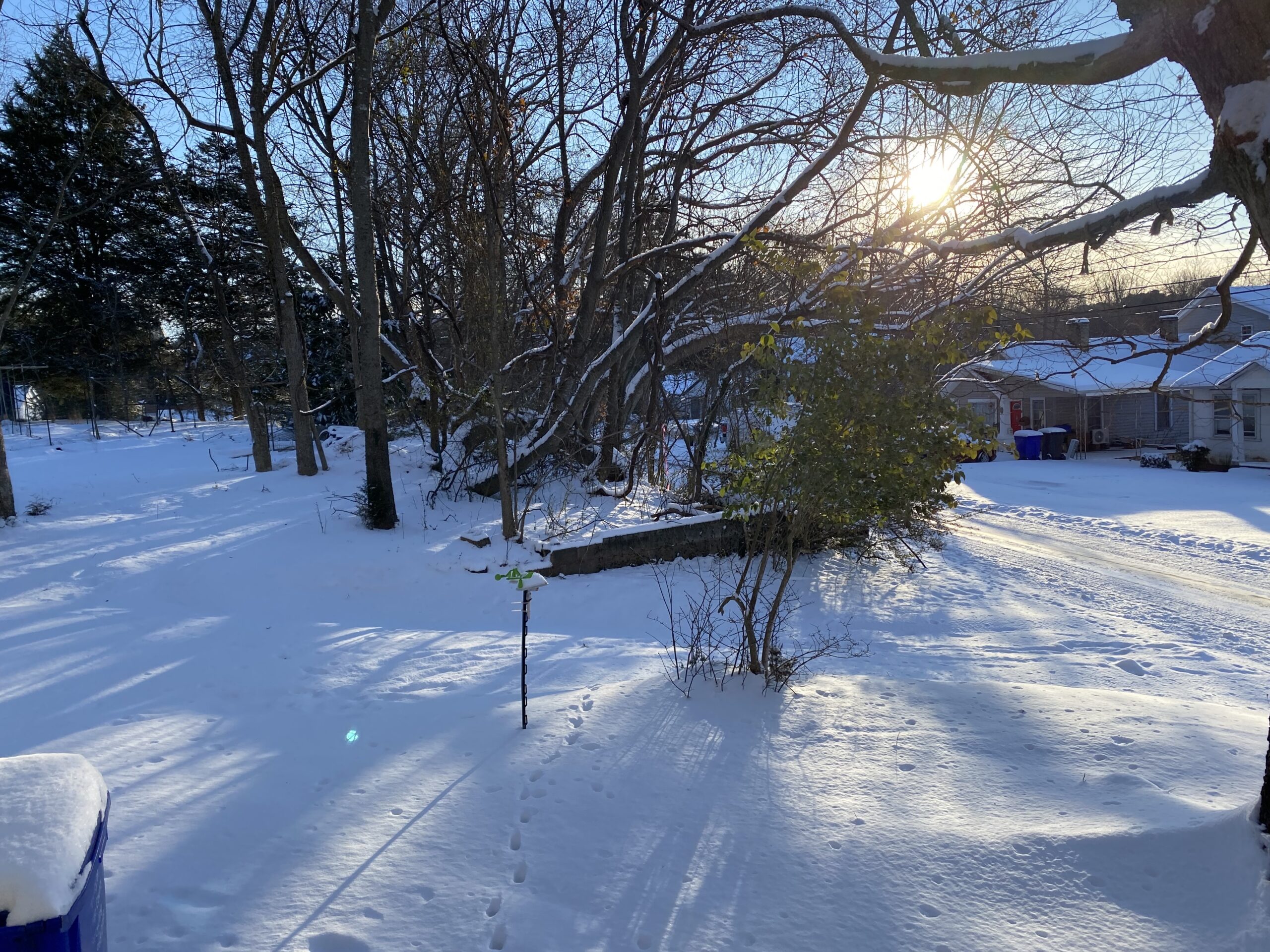
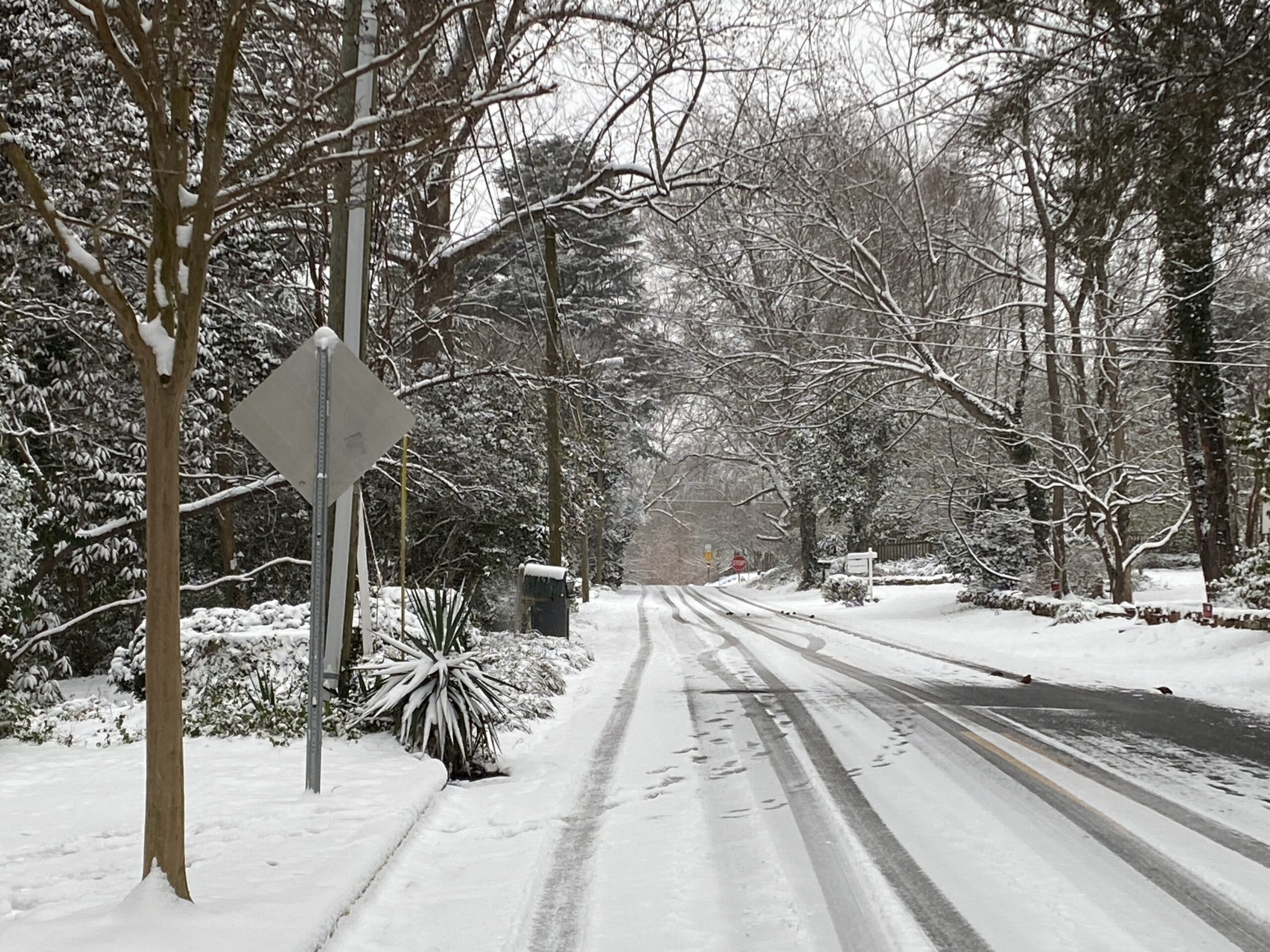
The first winter storm of 2026 is likely to arrive in the Triangle this weekend, bringing significant amounts of snow and ice. Just how much is still uncertain: some forecasting models are calling for over a foot of snow, while others are predicting more freezing rain and sleet, and still others are expecting less accumulation overall – but meteorologists are urging everyone to get ready for a multi-day winter event, one way or the other.
97.9 The Hill’s Aaron Keck spoke Wednesday with National Weather Service meteorologist Gail Hartfield.
Click below to listen to their conversation. The transcript below has been lightly edited for clarity.
Aaron Keck: So knowing that we’re still a few days out and things are still not entirely certain, what are we expecting to see this weekend?
Gail Hartfield: We’re pretty confident we’re going to see some sort of wintry precipitation around the area, from Saturday morning through Sunday evening.
Keck: What are we looking at in terms of accumulation?
Hartfield: It’s a little too early to say. We look at about 150 computer models. It was looking a couple days ago like it would be a predominantly snow event, and now things seem to be shifting a little bit so we could see a little more sleet and freezing rain mixed in with that. So, truly a wintry mix.
Keck: What are the variables there?
Hartfield: Mainly how much warm air there is aloft, like a few thousand feet up in the air. If it’s warm enough aloft, (the precipitation) melts and then refreezes on the ground, so that would create freezing rain. If it’s a deep enough subfreezing layer near the ground, then it will be mostly sleet. We’re expecting (that) we’re probably going to be in the sweet spot there, where we’re going to see a wintry mix of all that and could see some significant accumulations of all three types.

Graphic via the National Weather Service on X, posted Wednesday, January 21.
Keck: I know people are looking at their weather apps and they’re seeing the big numbers, 15 inches, 20 inches. What are you expecting?
Hartfield: Yeah, a lot of those apps are based on a single computer model – and like I said, we look at hundreds of them. So make your preparations, start preparing now. Make sure your car’s in good working order. If you’ve got plans, you might want to rethink those for the weekend into early next week. because there may be a chance that it’ll be difficult to get out of your house and difficult to travel. Make sure your house is in good working order and you’ve got enough food to get you by for a few days.
Keck: And then as we get into the start of next week, what are we looking at in terms of the sun coming out, the temperature rising, all that melting away?
Hartfield: It’s going to be a slow process. The sun coming out (Monday) will help, but it’s looking like we’re going to stay below freezing for an extended period of time. In the Chapel Hill area, we’re looking at a high in the upper twenties on Saturday and Sunday, (with) lows in the teens…and highs on Monday are only going to be near freezing, and Monday night you could see single digit lows. We’re looking at a low around 6 degrees on Monday night. So it’s going to be a while before this melts off.
Winter Weather Safety Tips
During severe winter weather, the North Carolina Department of Transportation urges people to avoid traveling during storms unless “absolutely necessary.” For those who do venture onto snowy or icy roads, the state department requests people drive at slower speeds, leave plenty of room between themselves and others, and clear all ice or snow from a vehicle before traveling. If you become stranded while driving, safely pull off the road, remain in your vehicle and call for help. More safety tips regarding winter weather driving and traffic updates from the state department can be found here.
Find a list of safety resources, local emergency services, shelter options and more on Chapelboro. Ready.gov, a website through the U.S. Department of Homeland Security, offers several safety tips for staying warm, keeping power, and enduring inclement winter weather. More information can be found here.
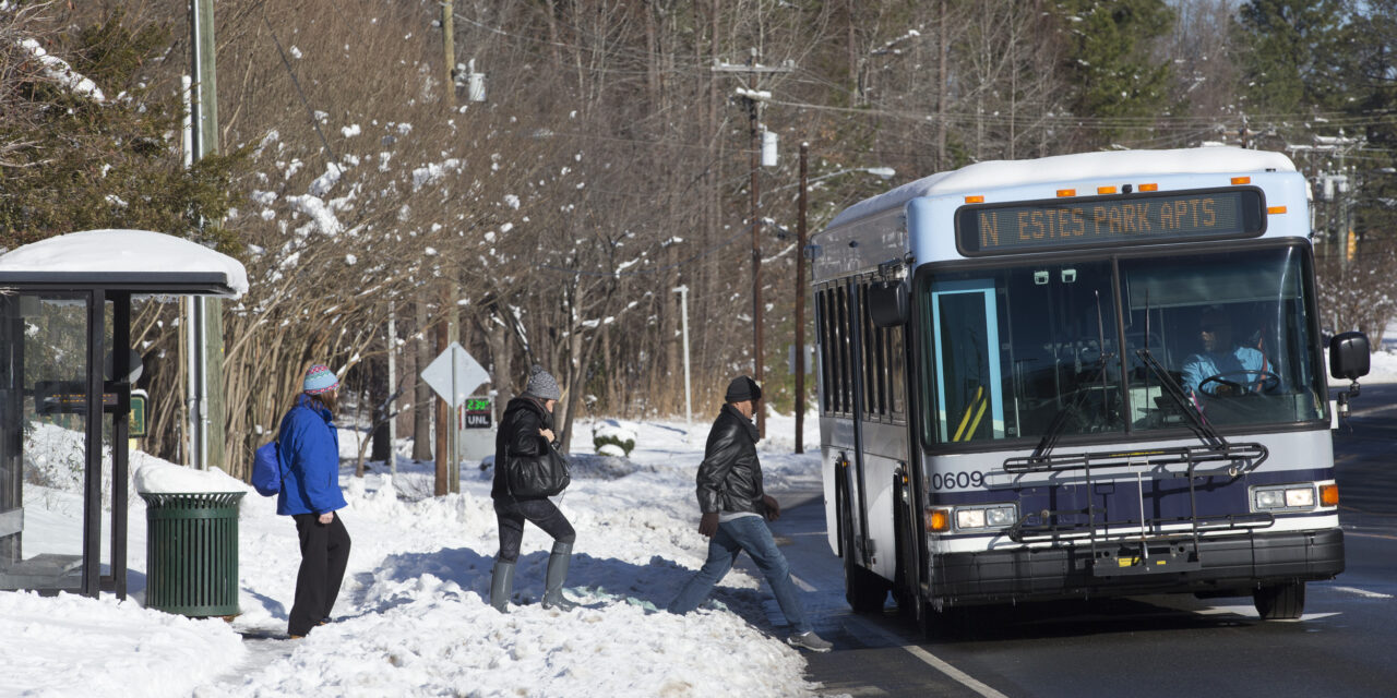
Featured photo via the Town of Chapel Hill.
Chapelboro.com does not charge subscription fees, and you can directly support our efforts in local journalism here. Want more of what you see on Chapelboro? Let us bring free local news and community information to you by signing up for our newsletter.

