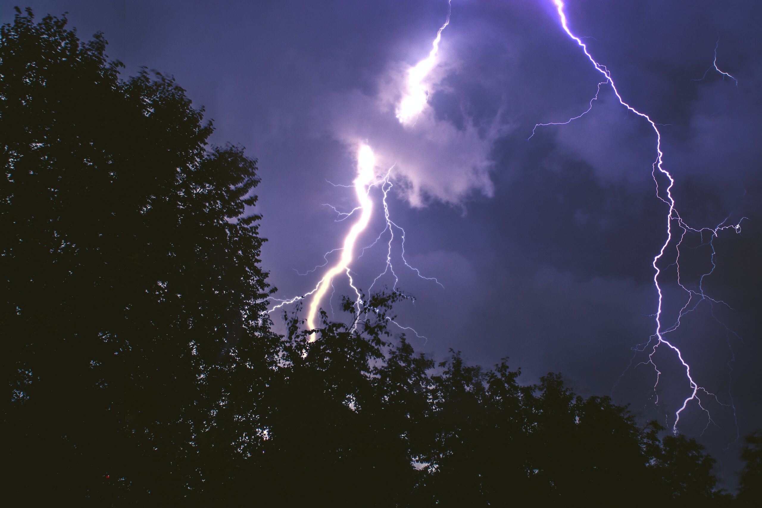
Severe thunderstorms ripped through Orange County and much of the rest of central North Carolina on Wednesday afternoon.
A Tornado Warning was issued for Chapel Hill and Durham until 5.
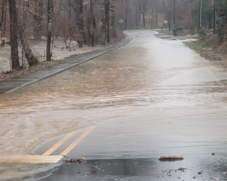
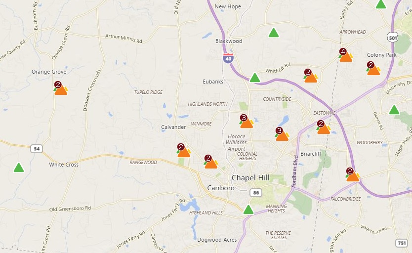
While stormed may have passed Orange County, debris remains scattered on roadways. There were also reports of fallen trees and possibly fallen power lines.
Several Twitter users shared images to @WCHLChapelboro.
@WCHLChapelboro view at 501 and Ephesus with hail. pic.twitter.com/NAX4hTJEL7
— Brett Bushnell (@Brett_Bushnell) February 24, 2016
Big tree (possibly lines) down and transformer blown in front of Town Hall. @WCHLChapelboro @DukeEnergyStorm pic.twitter.com/eILMMW8o3I
— Town of Chapel Hill (@chapelhillgov) February 24, 2016
Much lighter, still windy, creek rising in Carrboro. @WCHLChapelboro pic.twitter.com/sbDh26Pjpr
— Margot C. Lester (@margot_lester) February 24, 2016
Kenmore and Shadylawn. @WCHLChapelboro @chapelhillgov pic.twitter.com/xYJ0hflu1G
— Mark Kleinschmidt (@MayorMarkK) February 24, 2016
Chapel hill update… pic.twitter.com/B8viMhB9ke
— Nathan Staub (@Staub33) February 24, 2016
Severe thunderstorms hit much of North Carolina Wednesday afternoon. Orange County and the surrounding areas went under a tornado warning around 3:40 PM. The warning was expected to last until at least 4:15 in Chapel Hill, Durham, and Hillsborough. It was extended for several areas, including Orange and Durham Counties, until 5 PM.
A Severe Thunderstorm Warning was also issued for much of Orange, Durham, and Chatham Counties until 4:45 PM. But, Orange County residents began to see blue skies again by that time.
Always a welcome sight in Chapel Hill. #carolinablue
A photo posted by WCHL & Chapelboro (@wchlchapelboro) on
⚠️ Tornado Warning including Durham NC, Chapel Hill NC, Parkwood NC until 5:00 PM EST pic.twitter.com/DWQ0itO1Hw
— NWS Raleigh (@NWSRaleigh) February 24, 2016
The threat of severe weather forced school systems in the area to adjust their schedules.
Many schools in the area held students after hours due to storm threats. That included Chapel Hill High School, according to their student newspaper The Proconian.
With tornado warning in effect until 4:15 PM, students are currently being held at school. pic.twitter.com/yI41L1ZYWz
— The Proconian (@Proconian) February 24, 2016
UNC students also took shelter inside academic buildings on campus.
We're thriving over here in Carroll Hall! #weneedahashtag pic.twitter.com/g2aBwCWeNw
— UNC MJ-school (@UNCMJschool) February 24, 2016
Durham Public Schools released three hours earlier than their normal dismissal time. Wednesday was already a planned early dismissal day in Durham, but previously the release time was scheduled to be only two hours earlier than normal. All after-school activities were cancelled. Wake County Public School System schools also closed 3 hours early.
Chapel Hill-Carrboro City Schools and Orange County Schools cancelled after-school activities.
All Chatham County Schools after-school activities and field trips were cancelled.
Katie Dedeaux, a meteorologist with the National Weather Service, told WCHL's Blake Hodge that wind damage is expected, "I wouldn't be surprised to see some strong winds coming through Orange County."
This is the same system that led to severe damage and even fatalities in Louisiana and Mississippi, although it is now in a "slightly weakened state," according Dedeaux.
Orange County and much of the Triangle was located in the "moderate risk" portion of the National Weather Service's map. This meant widespread severe weather with several tornadoes and/or numerous severe thunderstorms was likely.
11:34am CST #SPC Public Severe Weather Outlook #PWO concerning #dcwx #mdwx #ncwx #scwx #vawx https://t.co/2Za75KGbMO pic.twitter.com/cEMXry1xi5
— NWS SPC (@NWSSPC) February 24, 2016
That map was updated from Wednesday morning. Previously, the biggest areas of concern were east of the Triangle.