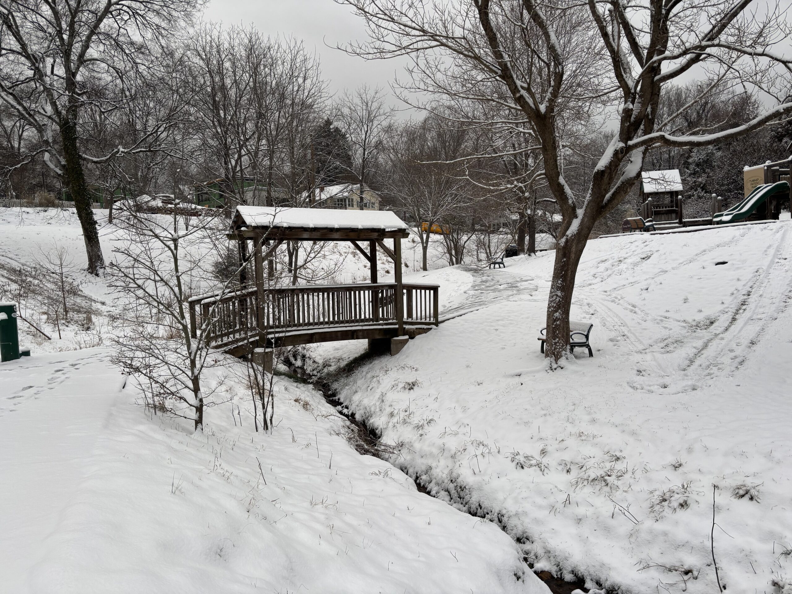
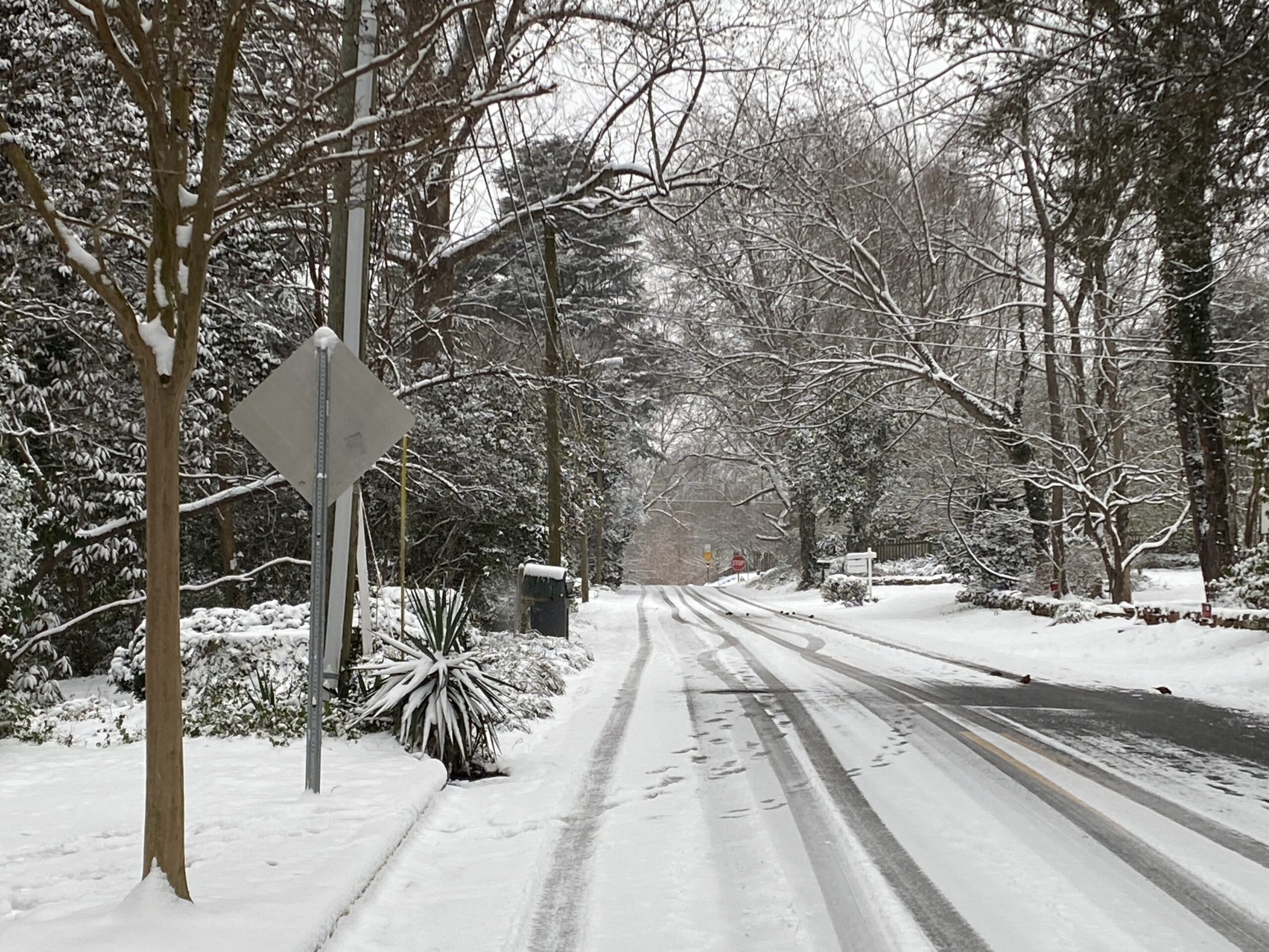
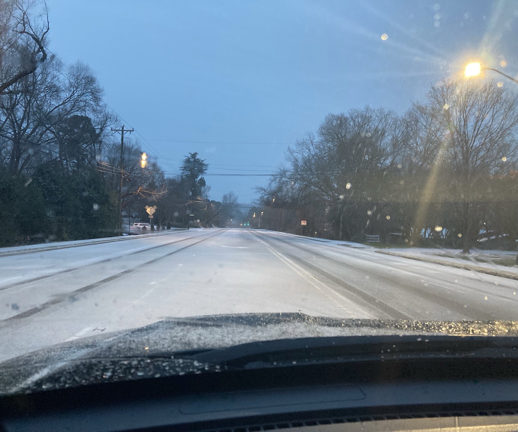
A Winter Storm Watch is taking effect this weekend as the Triangle braces for its first winter storm of 2026. Initial forecasts called for significant snowfall, but the latest models suggest that this storm will be more of an ice event in Orange County – starting as snow on Saturday afternoon, but turning quickly into freezing rain through Sunday. The winter storm watch begins Saturday afternoon and runs through Monday afternoon, but with temperatures not likely to rise much above freezing next week, officials are urging everyone to get ready for lingering impacts beyond Monday as well.
97.9 The Hill’s Aaron Keck spoke Wednesday with National Weather Service meteorologist Phil Badgett.
Click below to listen to their conversation. The transcript below has been lightly edited for clarity.
Aaron Keck: What are we expecting right now?
Phil Badgett: We’re looking now at what appears to be more ice or freezing rain, and less in the way of sleet and snow. The system is actually coming in a little bit slower as well, so (it may arrive) later on Saturday afternoon, and then it really gets underway Saturday night, lasting into Sunday.
Keck: What are we looking at in terms of accumulation?
Badgett: It’s still a little bit too early to tell, but right now it looks like probably like an inch or two of sleet and snow – (though) it’s hard to pin down how much snow and sleet we’ll get before we get that change over to freezing rain. But then the freezing rain is going to be dominant for most of the event on Saturday night into Sunday, and we’re looking at what could be a quarter to a half inch of ice, which would certainly be a real problem.
The other big thing with this is going to be the cold. (Saturday’s) temperatures will be in the twenties all day (and) hold pretty steady in the twenties overnight – and then Sunday we could potentially get up into the lower thirties, but it would be very late in the day before we get there. So the damage would (already) be done.
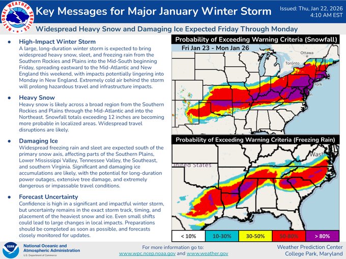
Graphic via the National Weather Service.
Keck: You mentioned more freezing rain, less sleet. What’s the difference between freezing rain and sleet?
Badgett: Sleet is when you have a very shallow warm layer, say 2-4,000 feet off the ground: snowflakes fall from the cloud into the warmer air and then melts, and then refreezes when it comes back into the colder air (near) the surface. Sleet is when you hear it kind of pinging on the windows, it’s almost like (hail) pellets that you would see in the summertime. Freezing rain is when the snowflake doesn’t have time to refreeze before it reaches the surface, so it stays a raindrop, (but) then it freezes on contact. It looks like this event most likely is going to start out with sleet and snow and then quickly turn over to freezing rain, and could be a real problem for us.
Keck: What should folks know in terms of being safe and being prepared for the coming days?
Badgett: I would definitely be prepared for a fairly long-duration type of event. And it seems like, as is typical with the Triangle, (to the) south and east it may not be quite as bad, (but) north and west, it may be the worst. Orange and Durham, maybe even Wake and Chatham, would possibly see the worst of the freezing rain.
Winter Weather Safety Tips
During severe winter weather, the North Carolina Department of Transportation urges people to avoid traveling during storms unless “absolutely necessary.” For those who do venture onto snowy or icy roads, the state department requests people drive at slower speeds, leave plenty of room between themselves and others, and clear all ice or snow from a vehicle before traveling. If you become stranded while driving, safely pull off the road, remain in your vehicle and call for help. More safety tips regarding winter weather driving and traffic updates from the state department can be found here.
Find a list of safety resources, local emergency services, shelter options and more on Chapelboro. Ready.gov, a website through the U.S. Department of Homeland Security, offers several safety tips for staying warm, keeping power, and enduring inclement winter weather. More information can be found here.
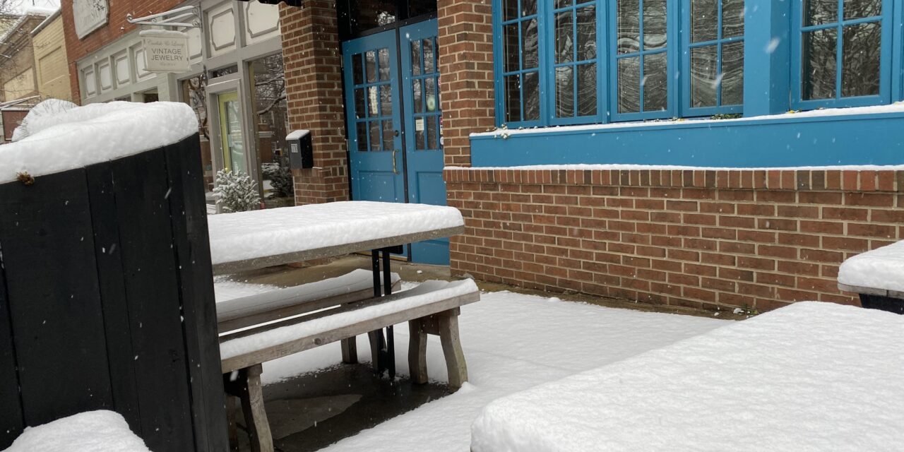
Featured photo by Kenny Dike/Chapel Hill Media Group.
Chapelboro.com does not charge subscription fees, and you can directly support our efforts in local journalism here. Want more of what you see on Chapelboro? Let us bring free local news and community information to you by signing up for our newsletter.

