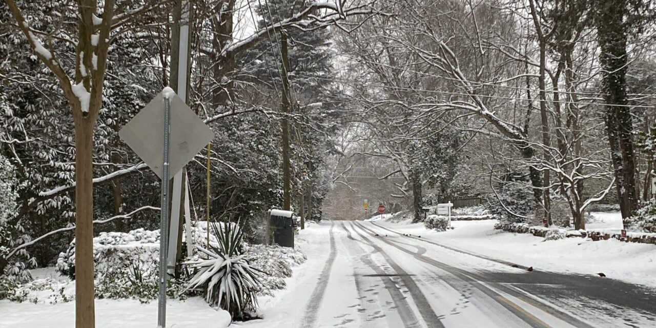
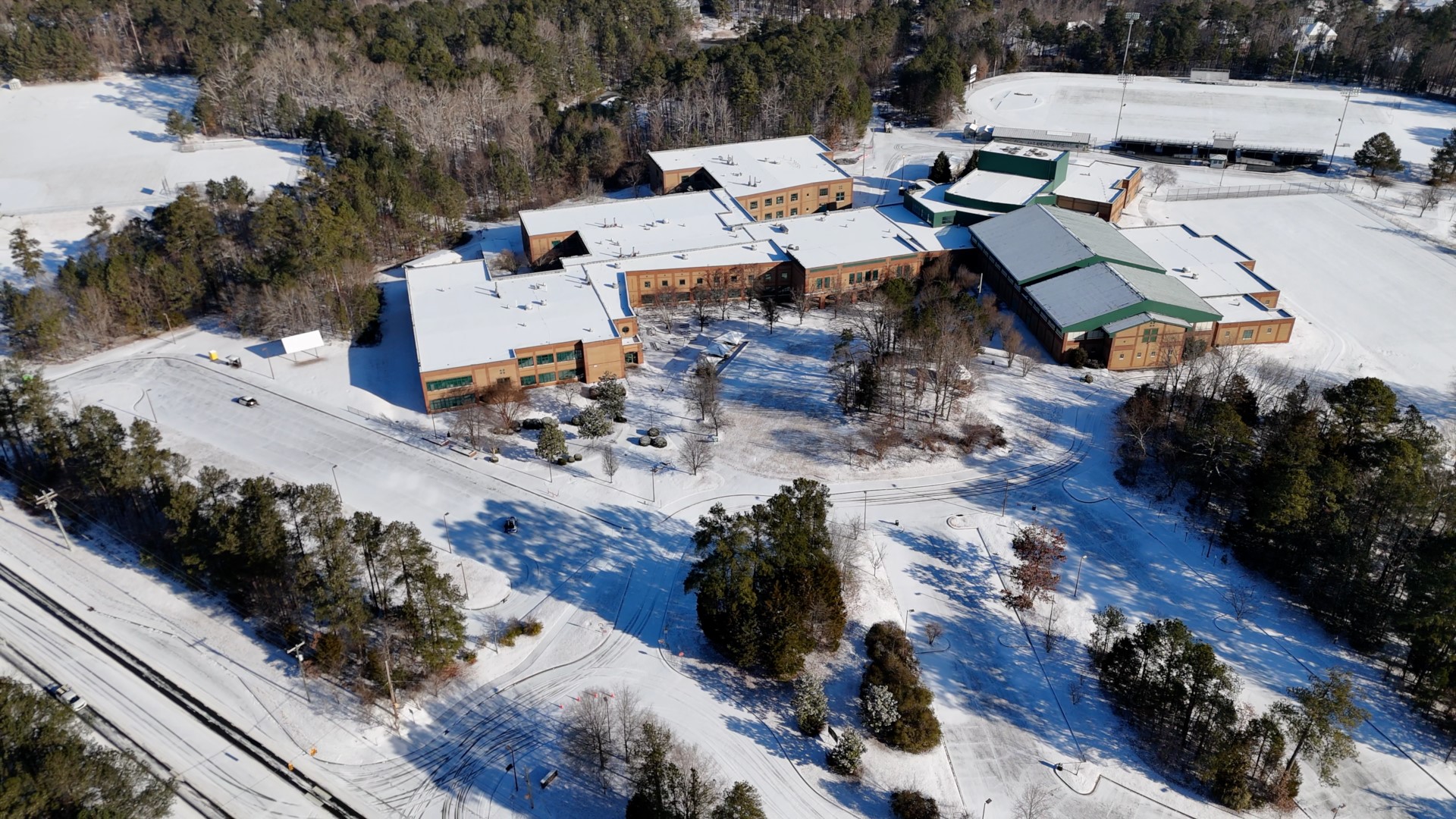
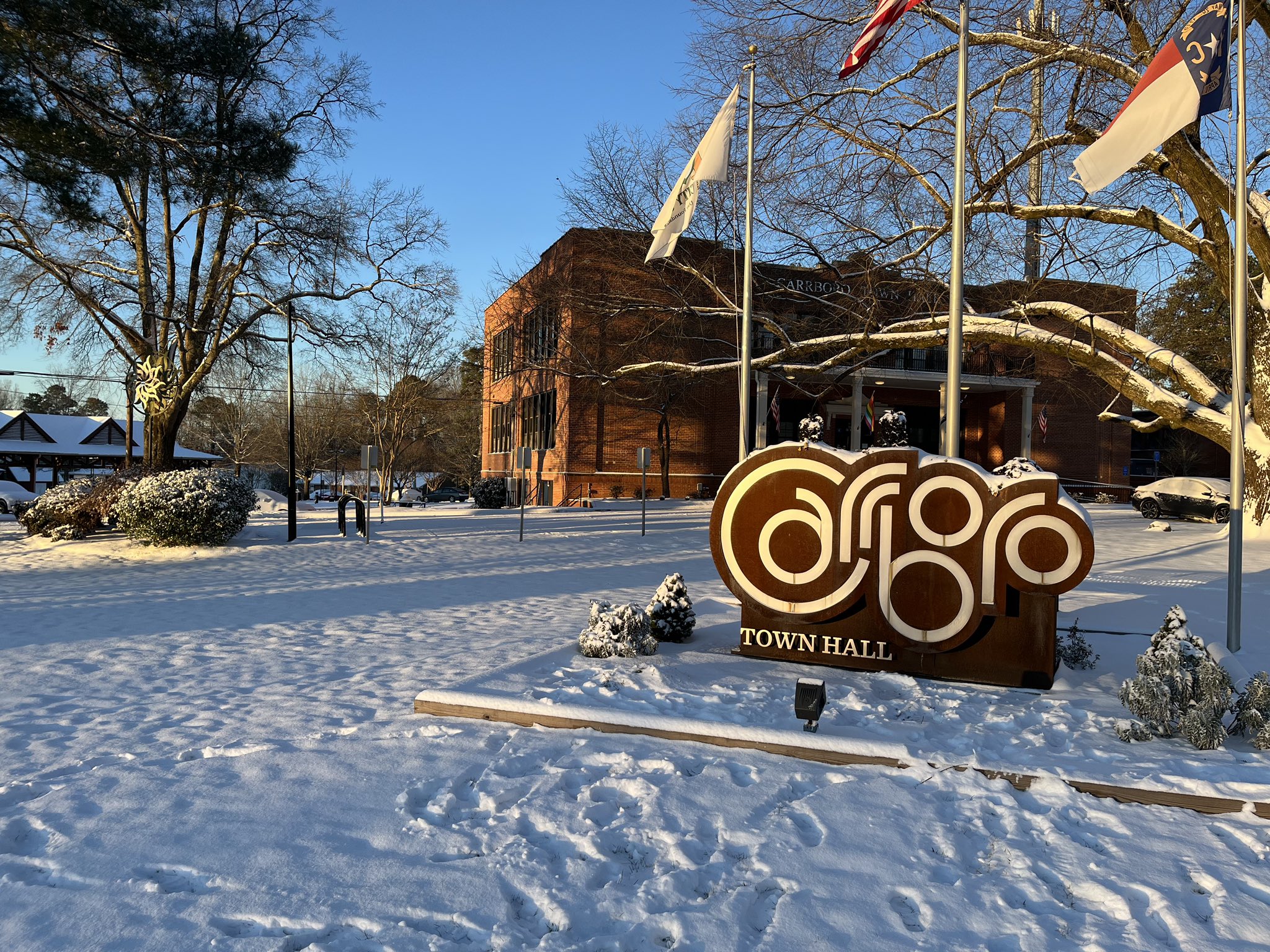
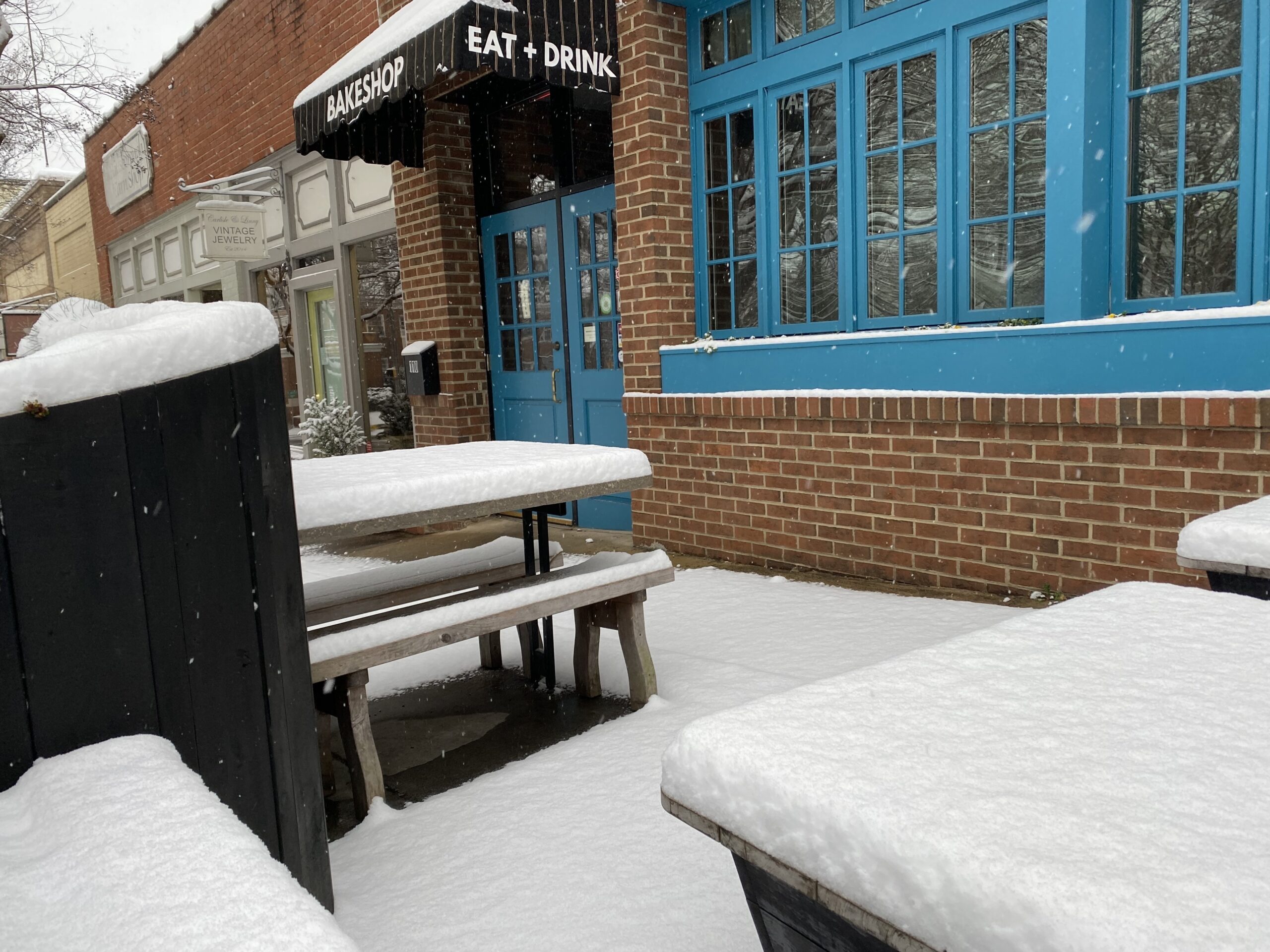
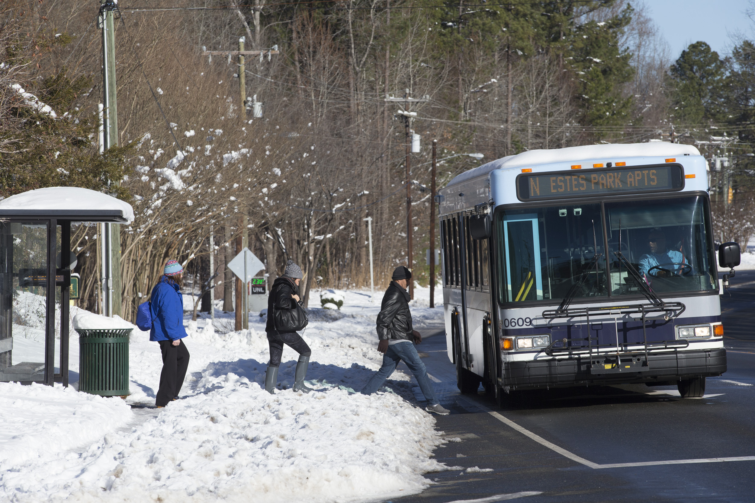
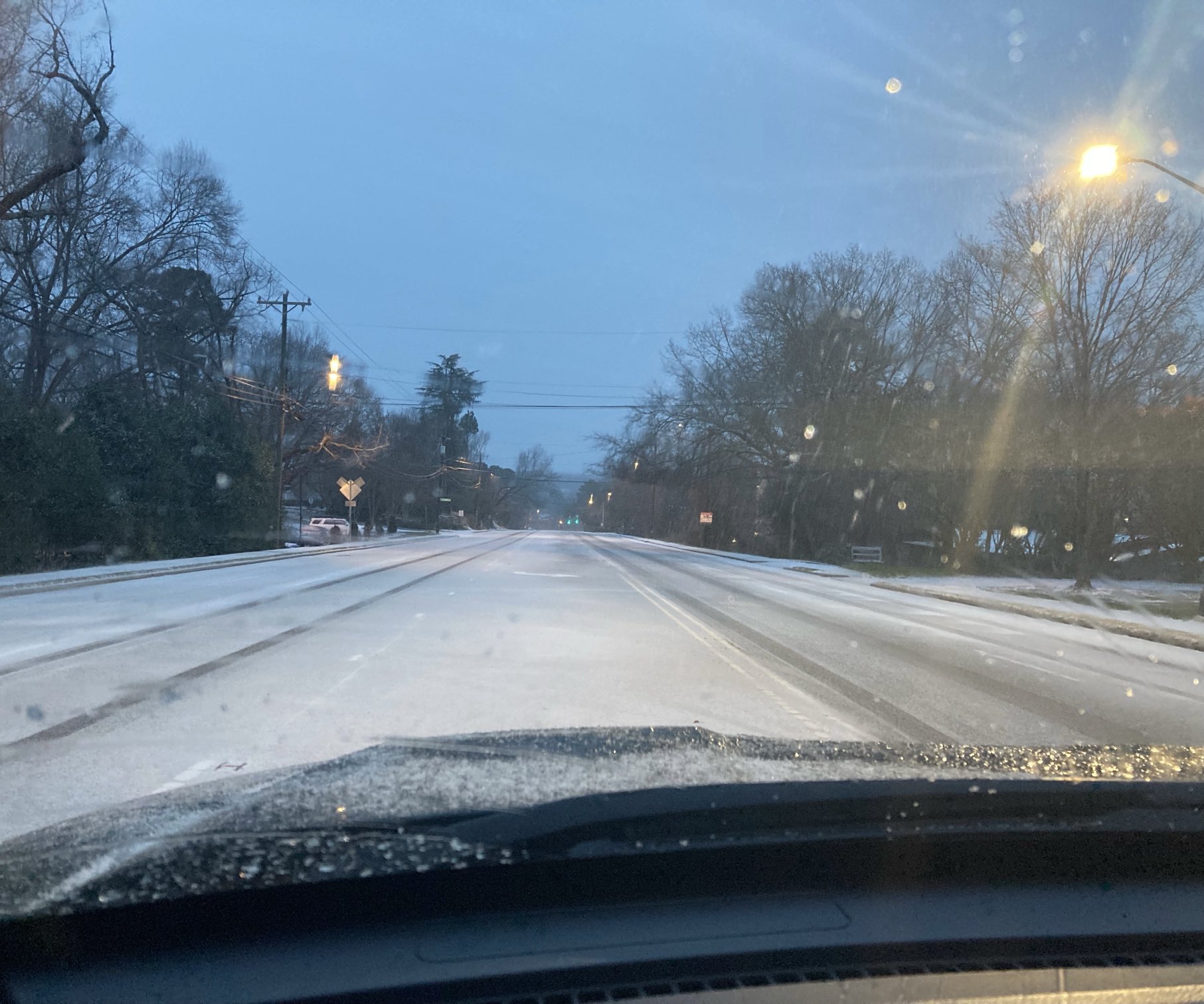
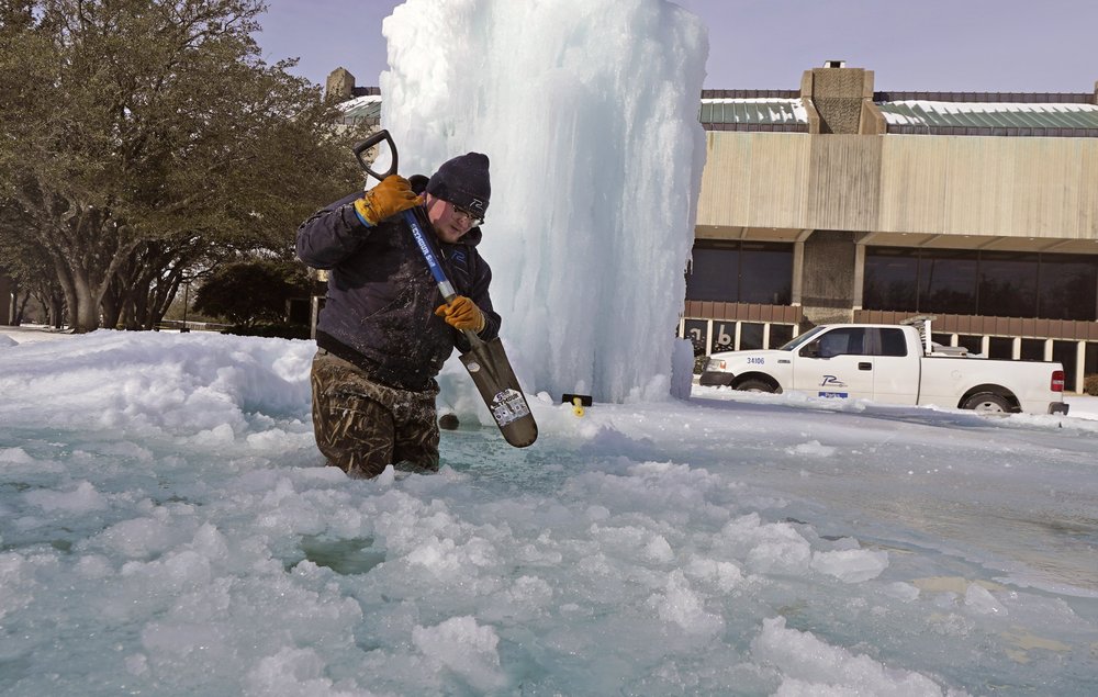
A Winter Storm Watch is taking effect this weekend as Winter Storm Fern arrives Saturday in the Triangle. Initial forecasts called for significant snowfall, but the latest models suggest that this storm will be more of an ice event in Orange County – starting as snow on Saturday afternoon, but turning quickly into sleet and then freezing rain, with precipitation lasting through Monday morning. Meteorologists are calling for about a half-inch of ice accumulation, more than enough to cause widespread power outages and make road conditions highly treacherous for several days. And while the winter storm watch is set to expire Monday afternoon, temperatures are not likely to rise much above freezing next week, so officials are urging everyone to get ready for lingering impacts beyond Monday as well.
97.9 The Hill’s Aaron Keck spoke Friday with National Weather Service meteorologist Mike Strickler and Orange County Sheriff Charles Blackwood.
Click here to listen to Aaron’s conversation with Mike Strickler.
Aaron Keck: What are we expecting now?
Mike Strickler: It looks like mostly an ice event for most of Central North Carolina, with more sleet to the northwest of Orange County, probably multiple inches of sleet, and then a little bit of freezing rain on top of that. (From the) southern parts of Orange County down into the greater Triangle, (it’ll be) more in the way of freezing rain with a little less sleet. But both are ice, (and) it’s the freezing rain that’s going to contribute to most of our power outages. The more freezing rain we get, the more power outages we’re likely to see.
Keck: What are we looking at in terms of total accumulation?
Strickler: Central North Carolina is likely to see around a half an inch of freezing rain…maybe a little less freezing rain and more sleet north and west of I-85. (And) to the southeast of the Triangle, it may change over to just plain rain later Sunday and Sunday evening. It looks like the heavier freezing rain totals will probably be just to the north and west of there, across parts of the Piedmont including Orange County.
Keck: When will it start and stop?
Strickler: It looks like the onset of the precipitation is going to be sometime late Saturday afternoon or Saturday evening. We’re going to have an initial band of a little bit of snow at the onset for several hours, depending on how early it comes in, (before) changing over to sleet Saturday night and then freezing rain during the day Sunday. And then most of the precipitation should wrap up early Monday morning, with mostly just dry and very, very cold conditions for a good part of the upcoming week.
Keck: What’s your best advice for folks who are trying to navigate their way through the storm?
Strickler: Prepare as much as you can. Stock up on non-perishable foods, plan for possible power outages. It might not be a bad idea to reserve a hotel room that would hopefully be on generator power if you don’t have power at your place, just as a fallback. (And) stay off the roads. It’s going to be very treacherous by Sunday morning, and then continuing into the early part of next week with the very cold temperatures, which should limit melting of whatever we get. Just plan to be inside and try to stay safe and warm, particularly (if) we get those power outages.
Click here to listen to Aaron’s conversation with Sheriff Charles Blackwood.
Charles Blackwood: This has been a busy time for us and busy for everybody, and I know people are concerned about the storm. When these things come in, we really don’t know what’s going to happen until it happens, but the confidence is high that we’re going to have a major event. We know the temperature’s going to be low. We know we’re going to have precipitation, something other than rain. We’re looking at prolonged power outages. That’s the main thing. We want to emphasize to everyone: be prepared. Stay off the roads if you can. And if you have to venture out, at least do so with a high degree of caution and care.
Aaron Keck: What is your team doing now to get ready?
Blackwood: Our emergency operations center is activating over the next 24 hours. The plan is to go full speed on Saturday at 8:00 a.m., (but) the emergency operations coordination – that’s all of us talking to all of our emergency services partners – has already begun. That will be full blown on Saturday, with a heavy emphasis on human services and infrastructure and public safety. We anticipate some shelters will be set up. It’s going to be cold and we know there’s an at-risk population for that. Then when we start to see government services shut down and power outages, that’s when we have to scale up our services…and (then) we have to think about our resources. We have to think about where our officers are going to get service for their phones (and) laptops. We have to think about where they’re going to sleep. We have to think about where we’re going to get our food, if the restaurants are all closed. Fuel for our cars. We’ve prepared for that. Our emergency services director Kirby Saunders and his team are amazing. And our county managers, Travis Myren and Caitlin Fenhagen, have done a phenomenal job in letting us do what we need to do to make sure that we’re able to take care of the public that we serve.
Keck: What are your best tips for residents to get ready?
Blackwood: Monitor all your official weather sources. Prepare yourself and your family for the long haul. I always say (plan for) five days. Be responsive to requests from emergency services, emergency management, law enforcement, fire and rescue. Be respectful of their request to stay off the roads. That helps us. If we don’t have to worry about rescuing you, we can rescue those folks that are endangered. Visit our website, OCSONC.com – go all the way to the bottom, there’s a sheriff’s app you can load and have right in the palm of your hand. (And) whatever you do, be careful. Look out for yourself, look out for each other…(and) just be careful. We want you to be here Tuesday and Wednesday when this thing goes away, and we can talk about how much fun it was.

Winter Weather Safety Tips
During severe winter weather, the North Carolina Department of Transportation urges people to avoid traveling during storms unless “absolutely necessary.” For those who do venture onto snowy or icy roads, the state department requests people drive at slower speeds, leave plenty of room between themselves and others, and clear all ice or snow from a vehicle before traveling. If you become stranded while driving, safely pull off the road, remain in your vehicle and call for help. More safety tips regarding winter weather driving and traffic updates from the state department can be found here.
Find a list of safety resources, local emergency services, shelter options and more on Chapelboro. Ready.gov, a website through the U.S. Department of Homeland Security, offers several safety tips for staying warm, keeping power, and enduring inclement winter weather. More information can be found here.
Chapelboro.com does not charge subscription fees, and you can directly support our efforts in local journalism here. Want more of what you see on Chapelboro? Let us bring free local news and community information to you by signing up for our newsletter.

