RALEIGH — A blast of colder air is expected to move into Central North Carolina Tuesday night. As this cold air replaces the warmer temperatures of today, there is also a storm system moving toward our state from the Northwest bringing with it the chance of some precipitation.
Katie Roussy is a meteorologist with the National Weather Service in Raleigh. She says parts of Northwestern North Carolina could get some snow, but don’t expect any here in the Triangle.
“It’s still going to be really cold when the system comes down Tuesday into Wednesday, but it looks like there’s not going to be a whole lot of moisture to work with,” Roussy says. “Across at least central North Carolina we’re not expecting any wintery precip with this.”
She says the system is strong enough to bring some accumulation to the mountains.
“They would have the best chance at seeing some measurable snow in those regions,” Roussy says.
Roussy also explains a Nor’easter could form off the Tar Heel coast and head up the Atlantic.
“There does look like there could be a storm that develops offshore, and at least for Central North Carolina, it’s going to be far enough off shore to where it’s not going to affect us,” Roussy says.
Stayed tuned to WCHL and Chapelboro.com for all the latest weather, especially as we enter into the winter season when these storms from the Northwest could catch us by surprise.
Related Stories
‹
![]()
Cold Front To Bring Frozen PrecipitationNational Weather Service Senior Forecaster Scott Sharp says once the cold front moves through the Triangle between 7:00 and 7:30 Monday morning, we should expect rain to switch to sleet at about midday.
![]()
Another Dose Of Winter Weather Aiming For TriangleAnother winter storm is heading for the Triangle, but its severity is still unknown.
![]()
Orange County Under Winter Storm WarningNWS officials upgraded Orange County from a Winter Weather Advisory to a Winter Storm Warning on Friday afternoon. The warning is in effect until 4 p.m. Saturday.**** A Winter Weather Advisory is in effect for Orange County from nine o’clock Friday morning until four o’clock Saturday afternoon. The advisory from the National Weather Service […]
![]()
Checking In With Your CommunityDuke Energy Spokesperson Megan Musgrave https://chapelboroaudio.s3.amazonaws.com/2014/02/13/snow%20update%20duke%20MEGAN%20MUSGRAVE%20edited.mp3 Chapel Hill Transit Director Brian Litchfield https://chapelboroaudio.s3.amazonaws.com/2014/02/13/snow%20update%202%20BRIAN%20LITCHFIELD%20edited.mp3 Orange County Public Affairs Director Carla Banks https://chapelboroaudio.s3.amazonaws.com/2014/02/13/snow%20update%20CARLA%20BANKS%20edited.mp3 Chapel Hill Police Chief Chris Blue https://chapelboroaudio.s3.amazonaws.com/2014/02/13/snow%20update%20CHRIS%20BLUE%20edited.mp3 Carrboro Mayor Lydia Lavelle https://chapelboroaudio.s3.amazonaws.com/2014/02/13/snow%20update%20LYDIA%20LAVELLE%20edited.mp3 Hillsborough Mayor Tom Stevens https://chapelboroaudio.s3.amazonaws.com/2014/02/13/snow%20update%20TOM%20STEVENS%20edited.mp3 Carrboro Police Chief Walter Horton https://chapelboroaudio.s3.amazonaws.com/2014/02/13/snow%20update%20WALTER%20HORTON%20edited.mp3
Orange County Community Reacts to Snow Day on Social MediaWhile the Orange County region got some snow the weekend of Martin Luther Jr. Day, for many it was predominantly ice and sleet that stuck around. But when people awoke on Saturday, fresh powder-like snow blanketed the community. After being under a winter weather advisory by the National Weather Service since Thursday morning, Orange County […]
Winter Weather Advisory Issued for Orange County, Parts of ChathamThe National Winter Weather Service has issued a winter weather advisory for Orange County and Chatham County, as well as other counties in the region, for the upcoming days. Rainy weather is expected to turn to snow flurries over the course of Thursday, February 20, according to the department. By Thursday night, snow fall and […]
Winter Storm Diego Prompts Closures Across Orange CountyCentral North Carolina has continued to deal with closings and delays in the aftermath of Winter Storm Diego dropping several inches of snow across the area. The storm has caused some closings and delays across our community: Alamance – Burlington Schools will be closed for students on Friday, December 14. Teacher workday. Orange County Schools […]
Orange County Under Winter Storm WarningOrange County and much of central North Carolina is under a Winter Storm Warning due to Winter Storm Diego. The storm left much of Orange County coated with a thick layer of snow Sunday morning with more precipitation expected to fall throughout the morning. Snow could switch over to ice and rain later in the […]
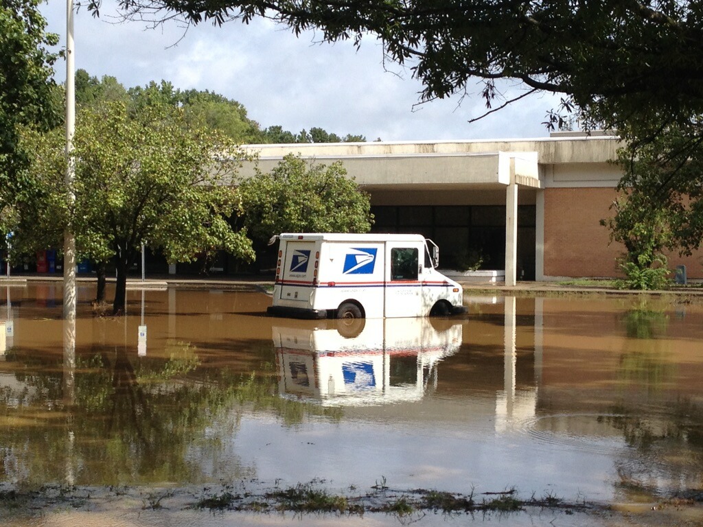
9/17/18: Orange County Flooding in PicturesOvernight rains from Hurricane Florence brought flooding to Chapel Hill and other parts of Orange County. Roads were closed and residents of some apartment complexes were forced to evacuate. The 97.9 The Hill WCHL crew took some photographs of flooding in the local area during Monday’s rainstorm. Photos by: Kenny Dike/WCHL Nicki Morse/WCHL Loren Hintz
Crews Working to Restore Power Across Orange County After Overnight StormsMore than 500 customers are without power Monday morning, according to Duke Energy, after a strong line of storms passed through southern Orange County Sunday night. Most of the remaining outages are focused in the neighborhood between Fordham Boulevard and Erwin Road in Chapel Hill, but there are outages spread across the county. After initially […]
›
