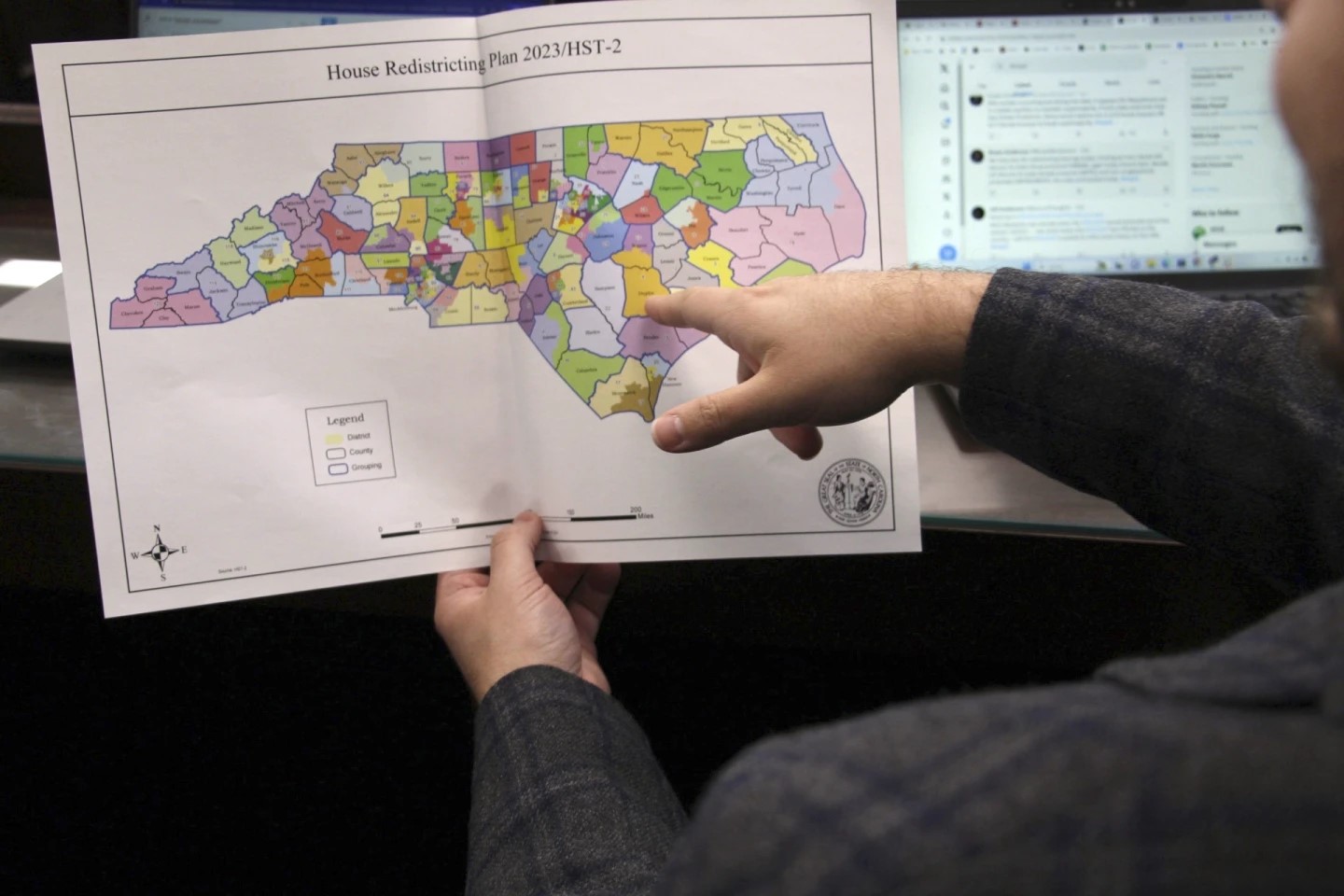
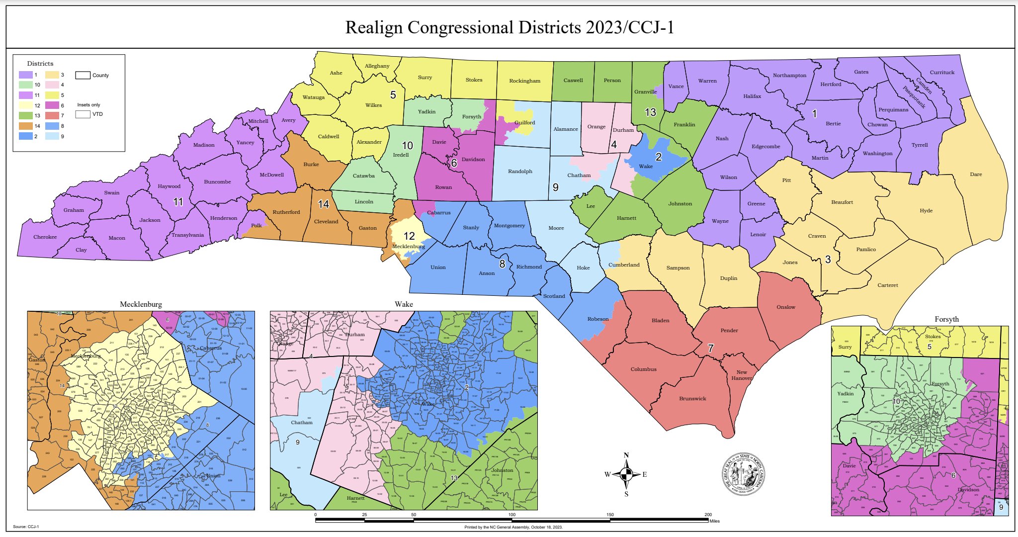
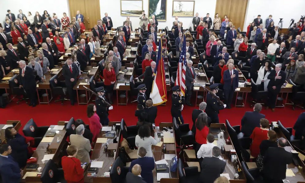
As a result of recently released census data, North Carolina is gaining a fourteenth congressional seat, which is affecting how the state is drawing its new congressional maps.
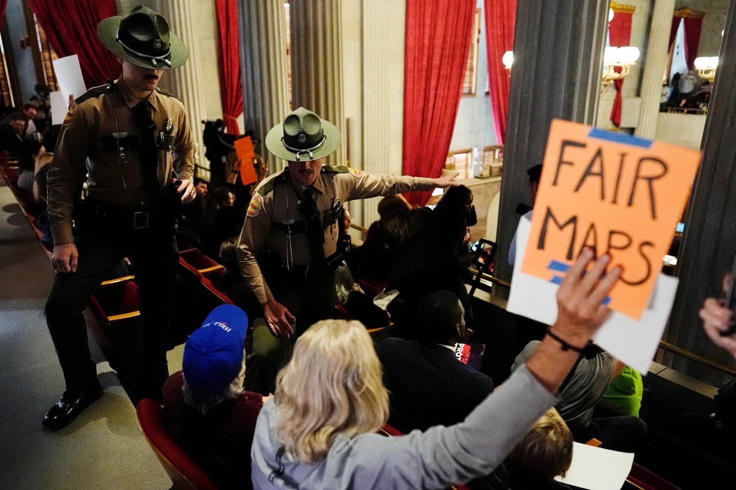
Congressional maps are drawn at least every ten years following a census to reflect the changes in population, but can sometimes be gerrymandered to favor a particular party more than others. North Carolina has historically been gerrymandered – which led to redrawn maps because of lawsuits prior to the 2020 election.
North Carolina grew in population over the past ten years – a total increase of roughly 900,000 people. This population growth is in more urban places of the state like the Triangle and Charlotte.
In 2010, 50 percent of the state lived in 15 counties. In 2020, however, 50 percent of the state lives in only 10 counties. Because of this, those counties will receive more congressional representation in the redistricting process – but could be influenced by gerrymandering.
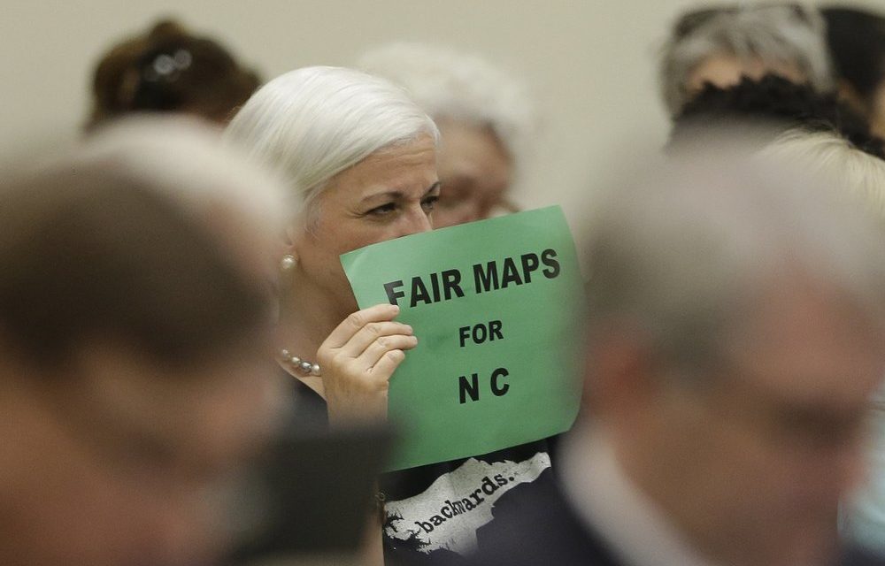
Gerrymandering is the practice of manipulating boundaries of an electoral district to favor a particular political party – which may not reflect the true opinions of constituents.
Jane Pinsky is the director of the North Carolina Coalition for Lobbying and Government Reform. She said redistricting could look different this year because legislators cannot look at the partisan makeup to draw the maps.
“Unfortunately, every legislator who is going to be drawing maps knows that partisan makeup in the back of their head,” Pinsky said. “While officially we won’t be looking at that, I’m afraid unofficially we may be.”
Pinsky said the role of North Carolinians is to tell their legislators when maps are not representative of their district.
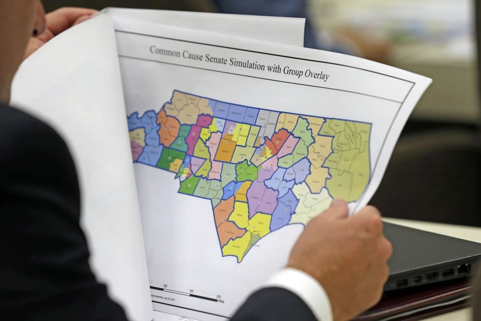
According to Pinsky, one obvious example of unfair maps is when they split any political entity – like a precinct or a county – in multiple pieces.
“In 2019 redistricting, we looked and found that there were six cities that were split down the middle,” Pinsky said. “That would include the town of Siler City – not far from Chapel Hill. The maps were drawn frankly to divide the Latinx population in town.”
Pinsky said the populations of the two districts were not very different from one another. They differed just enough, however, to give Democrat David Price the advantage in the 4th congressional district and Republican Ted Budd the advantage in the 13th congressional district.
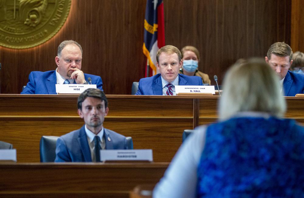
Pinsky said there will be some hearings open to the public throughout September prior to the congressional maps being drawn.
“We’re hoping that this time the public comments are not going to be ‘just please draw fair maps,’” Pinsky said. “Anybody drawing the map will tell you the map they’re drawing is fair regardless of their party. But this time, we citizens are going to go in with more precise advice or suggestions to our legislators.”
This could include suggestions on communities of interest – like neighborhoods where all the children attend the same elementary school or historically advantaged or disadvantaged neighborhoods.
Pinsky said ultimately, the best practice would be to create a citizen commission to draw maps and remove politicians from the redistricting process completely.
“If we have citizen commissions draw without paying attention to what elected officials would want, we get districts that better represent their populations, that better represent communities of interest, and don’t give people political advantage,” Pinsky said. “We want legislators that are going to have to be responsive to what we want because if they aren’t they aren’t going to get reelected.”
The redistricting process is already underway, and maps are due prior to the December 6 filing deadline for elections for Congress and state legislatures.
AP Photo/Gerry Broome
Chapelboro.com does not charge subscription fees. You can support local journalism and our mission to serve the community. Contribute today – every single dollar matters.

