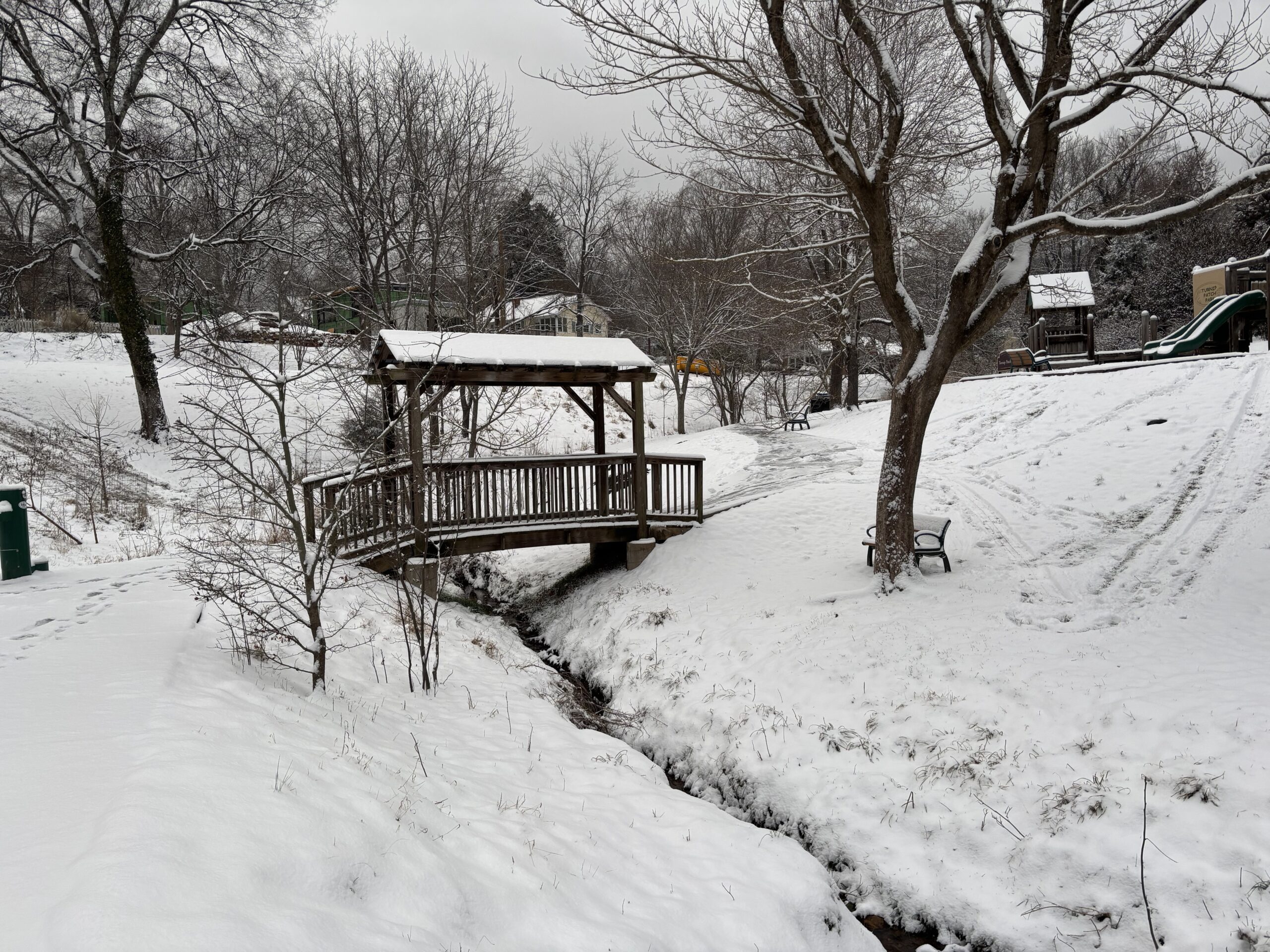
RALEIGH — A blast of colder air is expected to move into Central North Carolina Tuesday night. As this cold air replaces the warmer temperatures of today, there is also a storm system moving toward our state from the Northwest bringing with it the chance of some precipitation.
Katie Roussy is a meteorologist with the National Weather Service in Raleigh. She says parts of Northwestern North Carolina could get some snow, but don’t expect any here in the Triangle.
“It’s still going to be really cold when the system comes down Tuesday into Wednesday, but it looks like there’s not going to be a whole lot of moisture to work with,” Roussy says. “Across at least central North Carolina we’re not expecting any wintery precip with this.”
She says the system is strong enough to bring some accumulation to the mountains.
“They would have the best chance at seeing some measurable snow in those regions,” Roussy says.
Roussy also explains a Nor’easter could form off the Tar Heel coast and head up the Atlantic.
“There does look like there could be a storm that develops offshore, and at least for Central North Carolina, it’s going to be far enough off shore to where it’s not going to affect us,” Roussy says.
Stayed tuned to WCHL and Chapelboro.com for all the latest weather, especially as we enter into the winter season when these storms from the Northwest could catch us by surprise.
Related Stories
‹
'It's a Pretty Impactful Storm': Snow Arriving in the Triangle SaturdayForecasters are calling for 4-8 inches of snow to hit the Triangle this weekend, just a week after the ice of Winter Storm Fern.
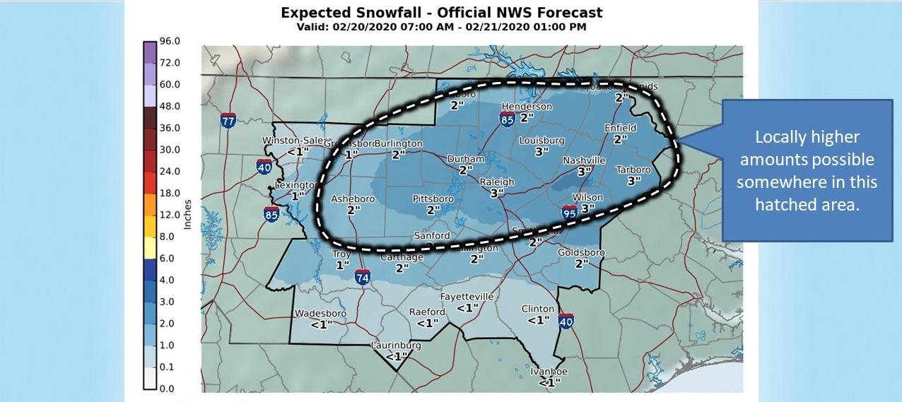
Winter Weather Advisory Issued for Orange County, Parts of ChathamThe National Winter Weather Service has issued a winter weather advisory for Orange County and Chatham County, as well as other counties in the region, for the upcoming days. Rainy weather is expected to turn to snow flurries over the course of Thursday, February 20, according to the department. By Thursday night, snow fall and […]
![]()
Winter Storm Warning Issued for Orange CountyThe National Weather Service has issued a winter storm warning for Orange and neighboring counties in response to projected snowfall across central North Carolina. The warning will remain in effect from Friday evening to Saturday evening, with three to five inches of snow accumulation possible in the Triangle area during that time. Kirby Saunders, the emergency management […]
![]()
Thin Glaze Of Ice Could Coat Trees Monday And TuesdayAnother dose of winter weather is on tap before spring officially arrives, but just how bad with this round be?
![]()
Cold Front To Bring Frozen PrecipitationNational Weather Service Senior Forecaster Scott Sharp says once the cold front moves through the Triangle between 7:00 and 7:30 Monday morning, we should expect rain to switch to sleet at about midday.
![]()
Thawing Temperatures On Their WayNational Weather Service meteorologist Kathleen Carroll says the forecast is clear of frozen precipitation--at least in the near future--and temperatures are projected to be in the 40s Friday.
![]()
Another Dose Of Winter Weather Aiming For TriangleAnother winter storm is heading for the Triangle, but its severity is still unknown.
![]()
NWS: Icy Roads Wed AM; Cold Weather All WeekMeteorologists say only an inch of snow should fall on Orange County tonight, but the cold weather will last all week.
![]()
Rain And Snow Out In Time For Thanksgiving, Still ColdThe skies should clear for Thanksgiving Day, but here on the eve of Turkey day, you might see some snow flakes mixed in with today’s rain showers.
![]()
Cold Temps Coming, But No Snow YetA blast of colder air is expected to move into Central North Carolina Tuesday night. As this cold air replaces the warmer temperatures of today, there is also a storm system moving toward our state from the Northwest bringing with it the chance of some precipitation.
›
