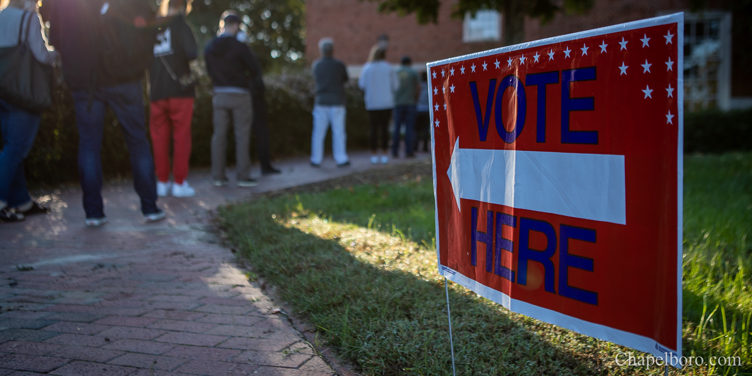
The Orange County Board of Elections has a new tool to help map residents’ paths to polls on Tuesday.
This election cycle, the board debuted the Map Your Trip web tool on the Orange County website. The tool lists all the voting precincts and helps voters determine the best route to their polling location. The map also allows residents to search various public transit options to arrive at their destination.
“We want to make voting as accessible as possible,” said Director of the Orange County Board of Elections Rachel Raper. “Map Your Trip allows voters to choose their preferred mode of transportation, including public transit, while participating in the electoral process.”
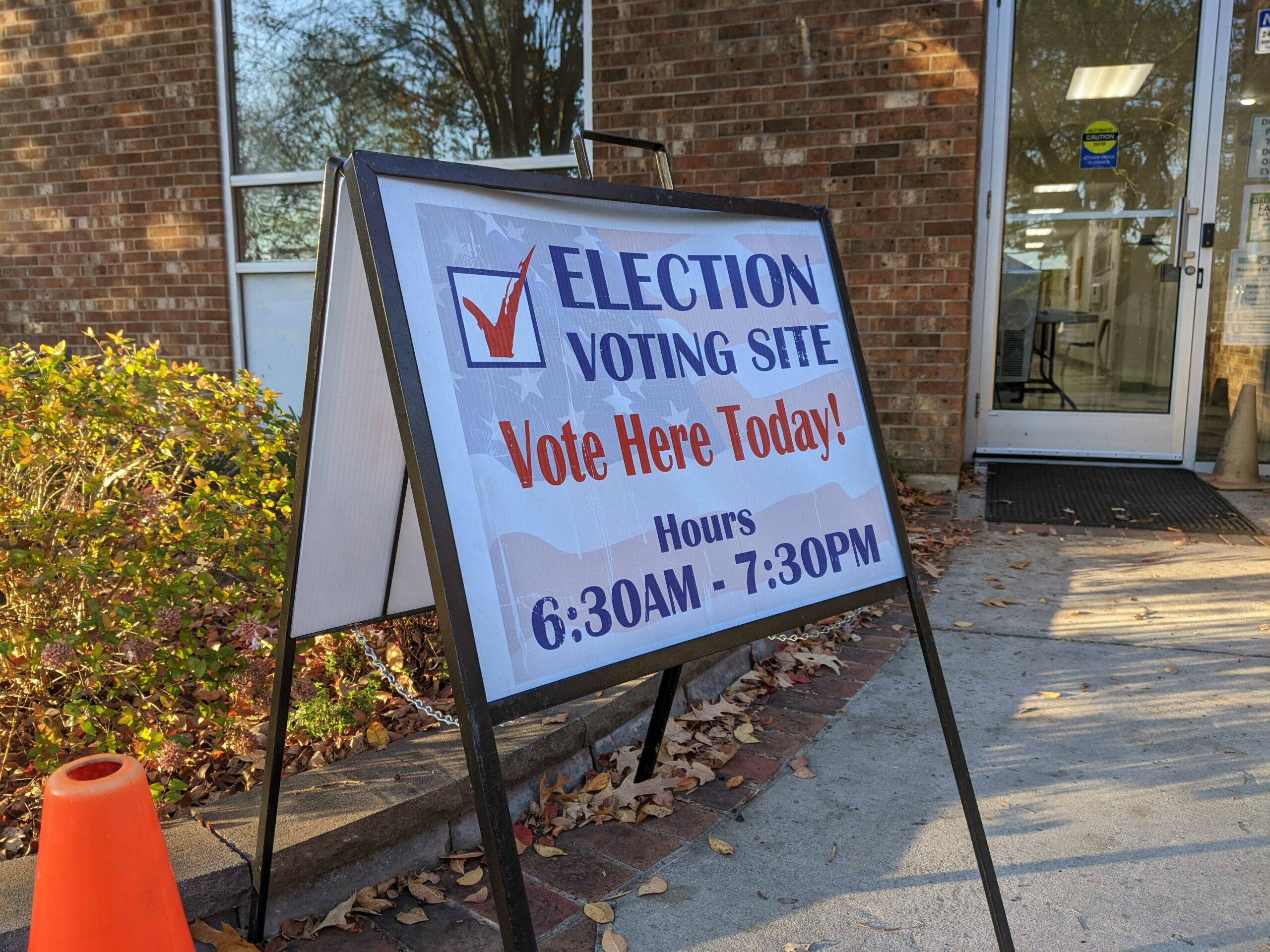
The Map Your Trip tool may be helpful to some Orange County residents who may have experienced changes to their precinct and will be using a new or updated polling location this year. Changes were made at the beginning of 2020 to consolidate some precincts, shrinking the county’s total from 44 to 41 while re-aligning many. The tool is also helpful because now early voting is over, the early voting locations are now largely closed.
The Map Your Trip tool also has a link to the search tool for voters to look up which precinct they vote in.
To access the new Map Your Trip too, visit the Orange County Elections website.
Related Stories
‹
![]()
Orange County Voting Precincts Receive Updates, Early Voting Location AddedThe voting precincts in Orange County saw changes enacted on January 1 of the new year, shifting where some residents may be voting in the upcoming primary elections in March. The 44 pre-existing precincts have been altered to 41 precincts, with some areas being combined and others being split. Director of the Orange County Board […]
Orange County Precinct Changes in Place For Election DayIn 2019, Orange County approved changes to several voting precincts in the county, the first time in nearly five years a change had been made. First used for the 2020 primary elections, county voters should expect the same changes to be in place for Tuesday as they head to the polls. The changes, implemented in […]
![]()
Board of Elections: Orange, Chatham County District Court Candidate Ineligible in Democratic PrimaryThe North Carolina State Board of Elections told a district court judge candidate this week she will be unable to serve as the Democratic nominee if she were to win the ongoing primary election for Seat 15B. After the discovery that candidate Erika Bales had improperly filed in the Democratic primary race for the seat […]

Orange County District Court Candidate to Stay in Race, But May Remain IneligibleConfusion still surrounds last Friday’s discovery that a district judge candidate running in the Democratic primary election is not registered to the Democratic Party. But it’s unlikely her name will be dropped from the ballot and she says she has no plans to drop out. Erika Bales said she had a pleasant day on the […]

Orange County Changes 203 S. Greensboro Street as Early Voting Site, Citing Construction TimelineAn impending election combined with ongoing construction of Carrboro's new library is leading to change an early voting location.

Orange County Chooses Early Voting Sites for 2024 General Elections — Now Excluding Carrboro's New LibraryOrange County recently finalized and shared its list of early voting locations for the 2024 election, which adds the future Carrboro library.

Election Certification Confirms Orange County School Board Runoff in May for Moore and HauserJennifer Moore and Bonnie Hauser will appear on the runoff ballots on May 14, vying for a seat on Orange County Schools' Board of Education.
Orange County Elections Director: Check Precinct Information Before Voting on Election DayFor Orange County voters heading to the polls on Election Day, officials are reminding them of important differences from early voting.
Here Are the Important Dates to Know for 2023 Election Season in Orange, Chatham CountiesWhat are the dates and deadlines Orange and Chatham County voters should know for the 2023 municipal election cycle?
Orange County Shares Early Voting, Photo ID Details for 2023 ElectionsThe Orange County recently sharing its early voting locations and hours for 2023, with the period beginning on Thursday, October 19.
›
