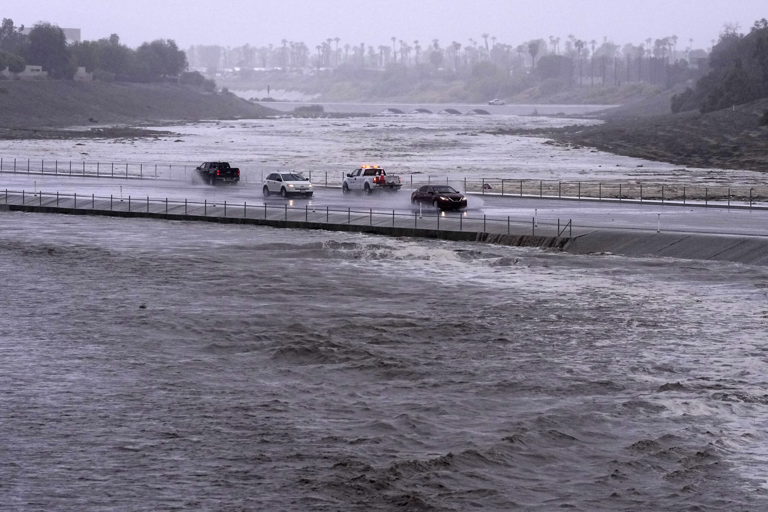
National Weather Service meteorologist Kathleen Carroll says Tropical Storm Arthur is on track to becoming the season’s first hurricane by Thursday morning and could affect your weekend plans in eastern North Carolina, if those plans include an early start to the weekend.
“Over the next day or two, it will be moving North towards North Carolina, and we should see some impacts with that beginning late Thursday and then overnight Thursday night,” Carroll says.
***Carroll Spoke with WCHL’s Ron Stutts Wednesday Morning***
However, Carroll says the storm could be out of the way in time for fireworks.
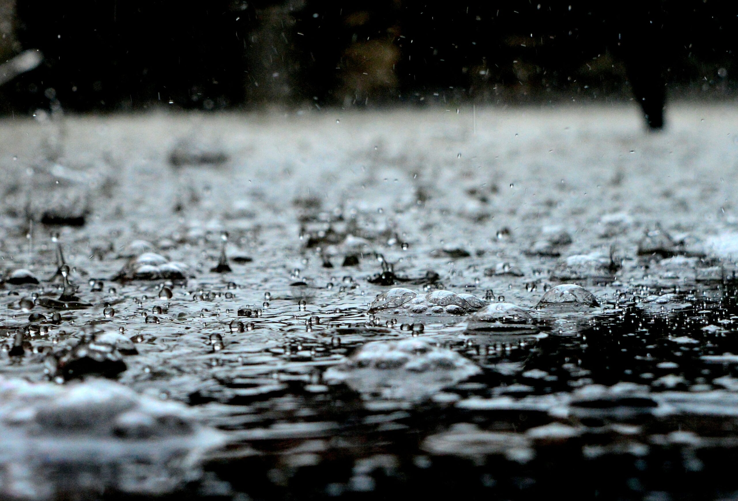
“It definitely will be a rainy and potentially breezy day on Thursday, but it looks like the Fourth of July–at least in the evening hours when everybody will probably be enjoying fireworks and barbeques–current timing has that tropical system moving off to the northeast by the afternoon hours,” Carroll says.
If you’re staying put for fireworks at Kenan Stadium, Carroll says Arthur is unlikely to play a big factor in the Triangle.
“For that area, we may not even see that great of an impact from the system itself,” Carroll says. “Winds really wouldn’t be a whole lot stronger than anything we normally see, because the system’s expected to stay closer to the coast. We will probably see a bit more rain, but that will be, in part, due to a frontal system that’s going to be approaching kind of sandwiched between the tropical system off the coast.”
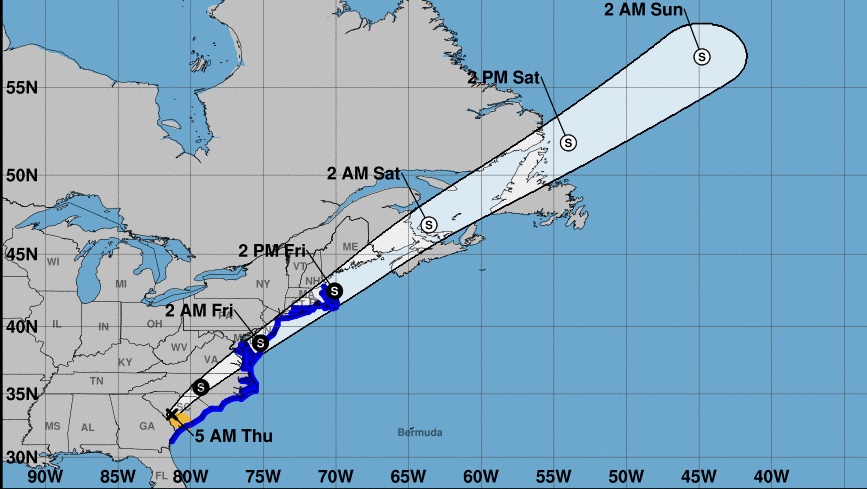
For the latest forecast and tropical storm track, click here.


Comments on Chapelboro are moderated according to our Community Guidelines