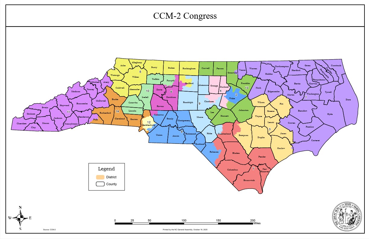
Pressed by a court ruling last week over partisan gerrymandering, North Carolina legislators began on Tuesday to produce a new state congressional map that could make it more difficult for national Republicans to retake control of the U.S. House.
A special House-Senate committee met for the first time and set rules for proposed replacement boundaries that the full legislature could vote upon as soon as next week, when it officially reconvenes. A key legislator warned the process will be more complicated than when the GOP-controlled General Assembly redrew several dozen legislative districts just two months ago.
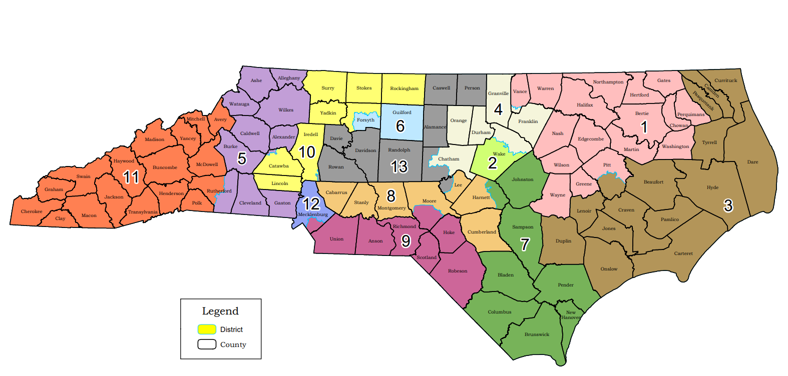
On Oct. 28, a state judicial panel blocked use of the state’s 13 U.S. House districts for the 2020 elections by determining it was likely the voters who sued to overturn the 2016 map alleging excessive partisan bias favoring Republicans would win their case. The GOP currently hold 10 of the 13 seats in the state’s congressional delegation, even though North Carolina is considered a presidential battleground entering 2020 and regularly holds close statewide elections.
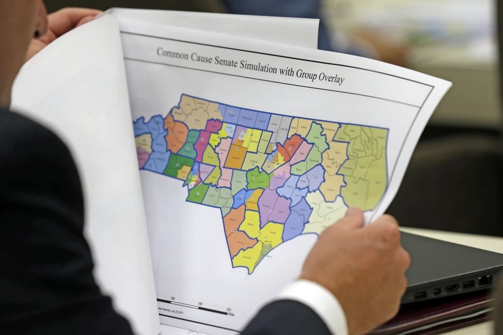
The same judges struck down state House and Senate districts in early September by agreeing with similar arguments that political gerrymandering violated the North Carolina Constitution.
While the judges wrote in their preliminary injunction that it lacked authority at the time to order the legislature to draw new congressional districts, they suggested the General Assembly could redraw them on their own now and avoid delaying the congressional election calendar.
Candidate filing for all 2020 races begin Dec. 2, and the State Board of Elections has said congressional primaries could still occur March 3 as scheduled if a replacement map is finalized by Dec. 15.
“The court respectfully urges the General Assembly to adopt an expeditious process,” the judges wrote last week.
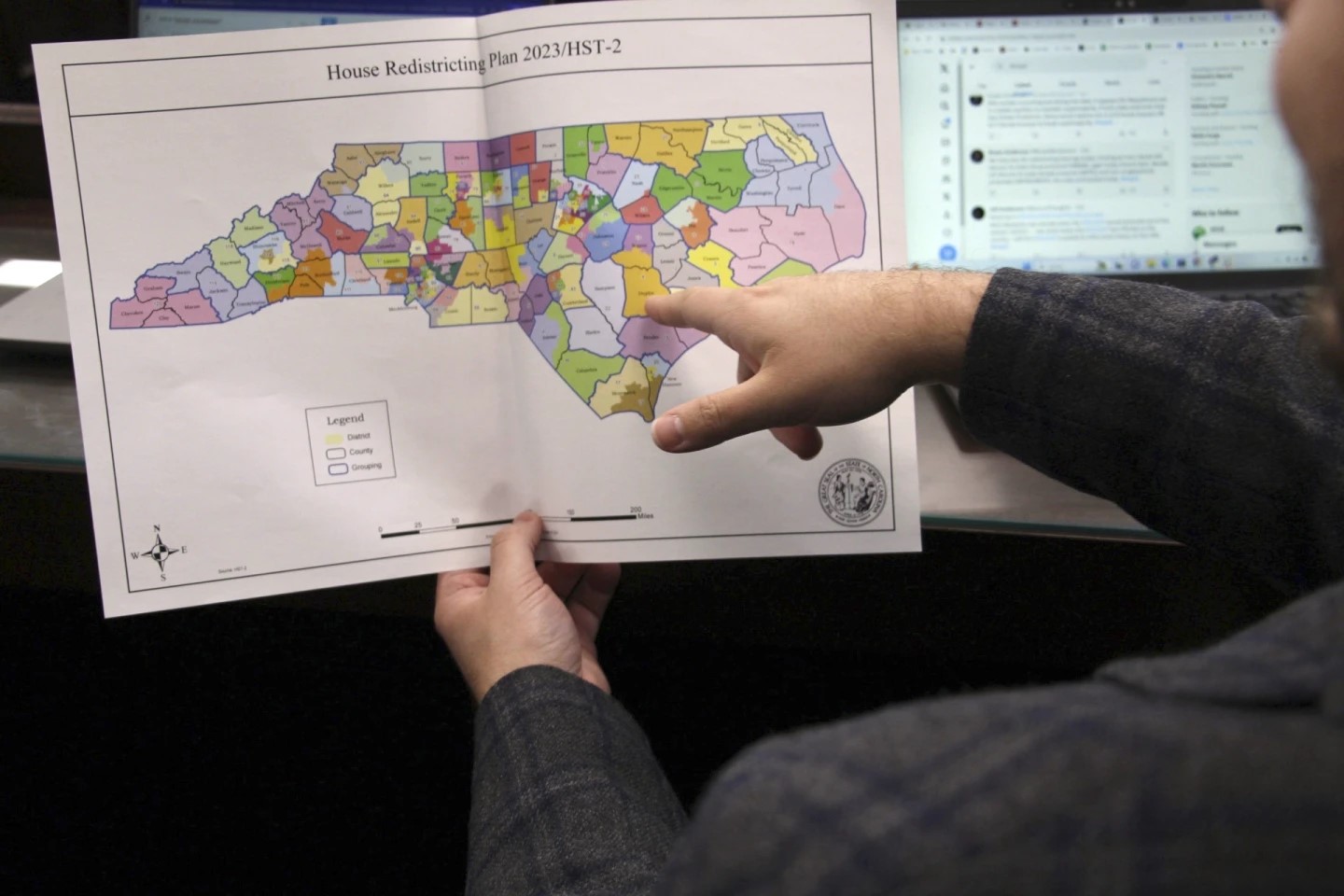
The legislature worked at lightning speed in September to redraw nearly 80 of their 170 legislative districts in barely over a week, following the judges’ criteria such as ignoring political data and election results and to improving district compactness when able.
The court has provided no such specific criteria for the congressional remap. But committee members agreed Tuesday that it made sense to mimic much of what it followed during the legislative remap. For example, live video of the committee meetings again will be online, as will the displays of the computer terminals where any mapmaking will be performed.
The committee also agreed that those computers would contain neither elections results — a key element in determining a district’s partisan slant — nor racial information about voters. The committee will decide later this week whether they want to use a previously drawn map to serve as the base plan for their work, or create a new map from scratch.
Mitchell County Republican Sen. Ralph Hise, a committee co-chairman, said drawing a congressional map will include additional challenges. For example, each of the 13 districts must have exactly or almost exactly the same number of residents. Based on the 2010 census figures, that’s 733,499 people per districts. Legal rulings, allow for more flexibility in General Assembly district populations.
“Equal population makes it much more complex,” Hise said.