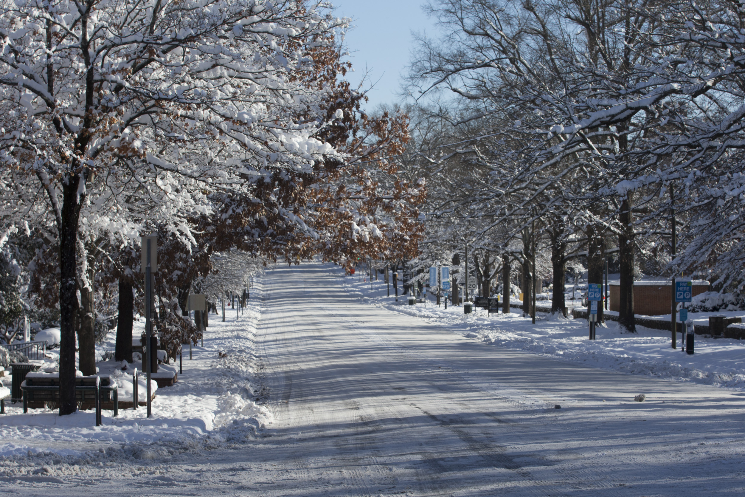
With the threat of freezing rain in the forecast, Orange County is under a Winter Weather Advisory from 7:00 Tuesday evening through noon on Wednesday.
“Temps are going to drop through the evening, down around freezing by 9:00 or so,” says National Weather Service meteorologist Ryan Ellis. “Initially that won’t cause a problem, but as precipitation starts…you’ll start to see the first impacts around midnight or so, (with) glazing on overpasses and bridges first…
“As precipitation increases after midnight, expect to start seeing travel impacts on the roadways (through) the morning commute.”
Ellis says it’s not yet clear how much precipitation is going to fall, but forecasters expect about a tenth of an inch of ice. Ellis describes the expected impact as “low to moderate” – road conditions will be treacherous, especially during the morning commute, but there shouldn’t be many power outages or downed trees.
“The worst case scenario would probably be two-tenths of an inch (of ice),” Ellis says. “The best case scenario is that the precipitation doesn’t make it as far north – and if we don’t get a lot, we could see very limited impacts with maybe just patchy ice on bridges and overpasses.”
Still, even a small amount of ice is enough to cause havoc on the roadways. “Last week in Sampson County…they had a very brief period of very light drizzle and rain, and they had 17 cars off the road within a couple hours,” Ellis says. “It doesn’t take much with the ice.”
So when will the ice go away? Ellis says it shouldn’t be long: the precipitation should end around 10:00 Wednesday morning, and temperatures will rise above freezing around then as well.
“Once the temperatures warm back up…you get cars traveling over the road (and) things heat up a little better,” Ellis says. “So we don’t anticipate impacts beyond Wednesday morning.”
Continue to check Chapelboro.com for updates on the weather, as well as any school and business closings, cancellations or delays.


Comments on Chapelboro are moderated according to our Community Guidelines